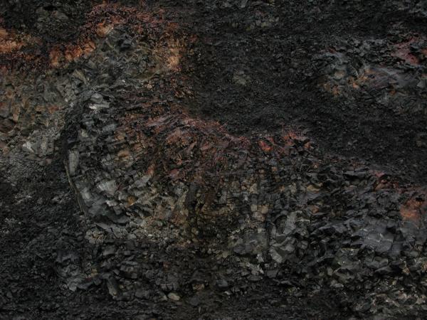
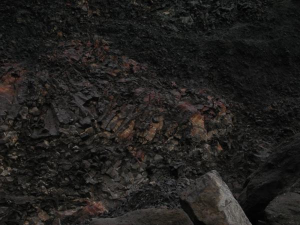
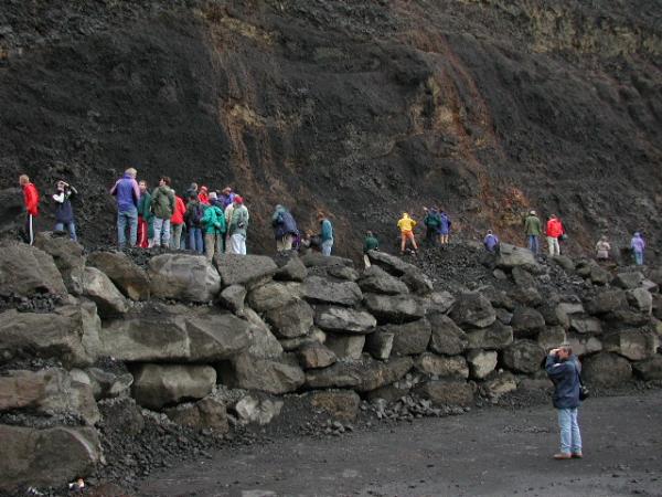
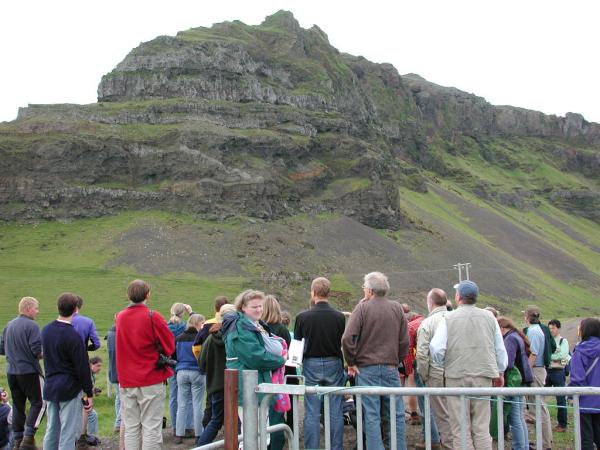
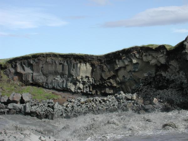
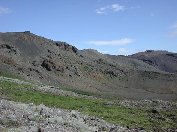
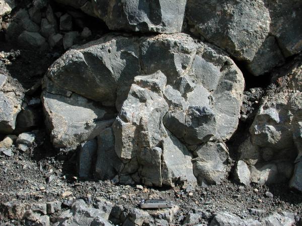
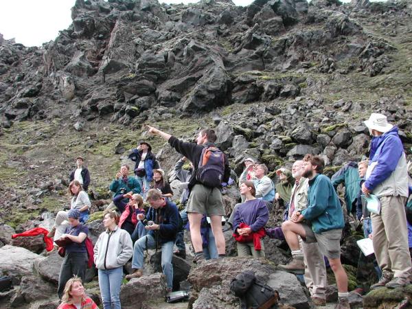
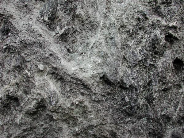
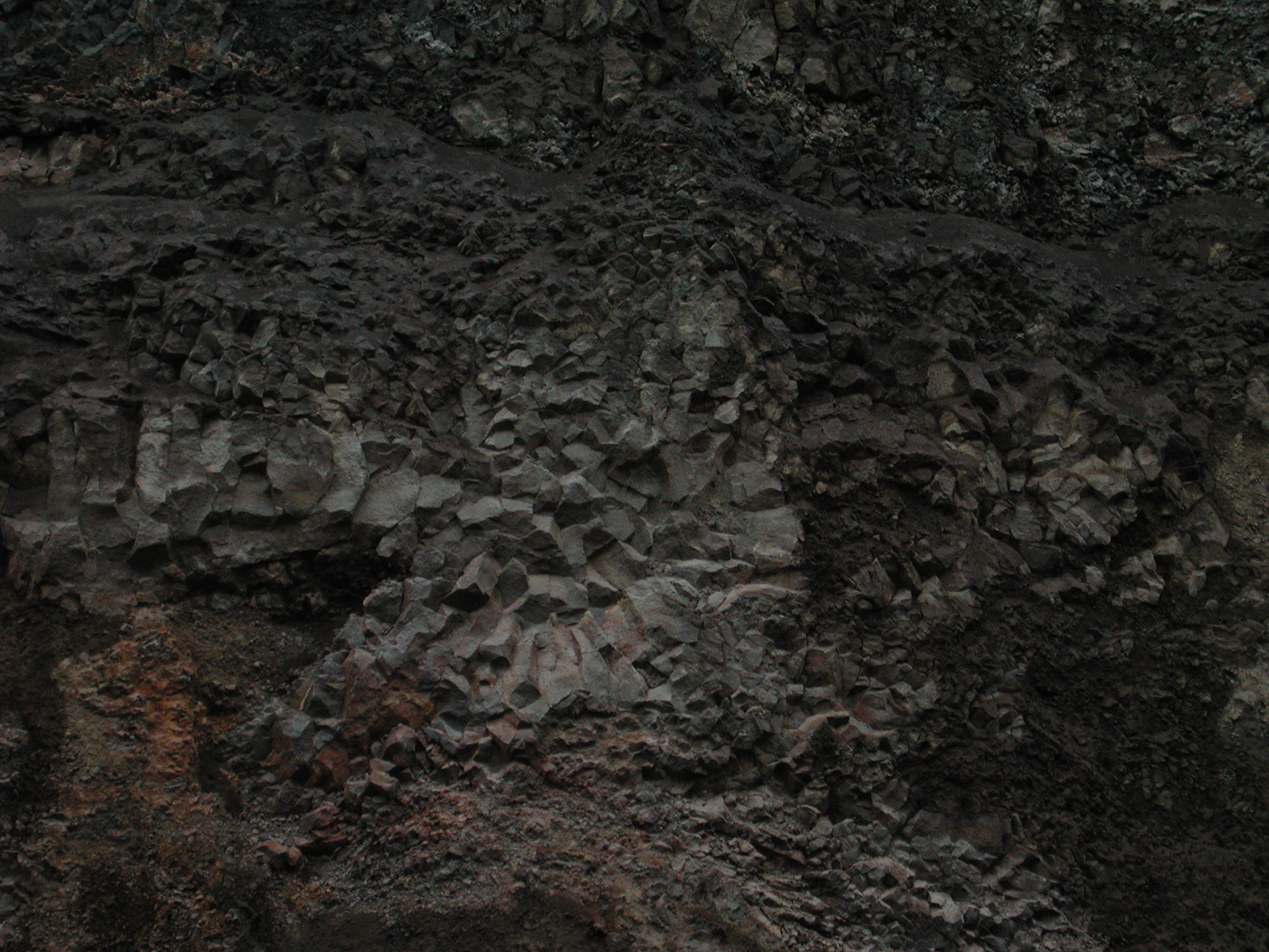
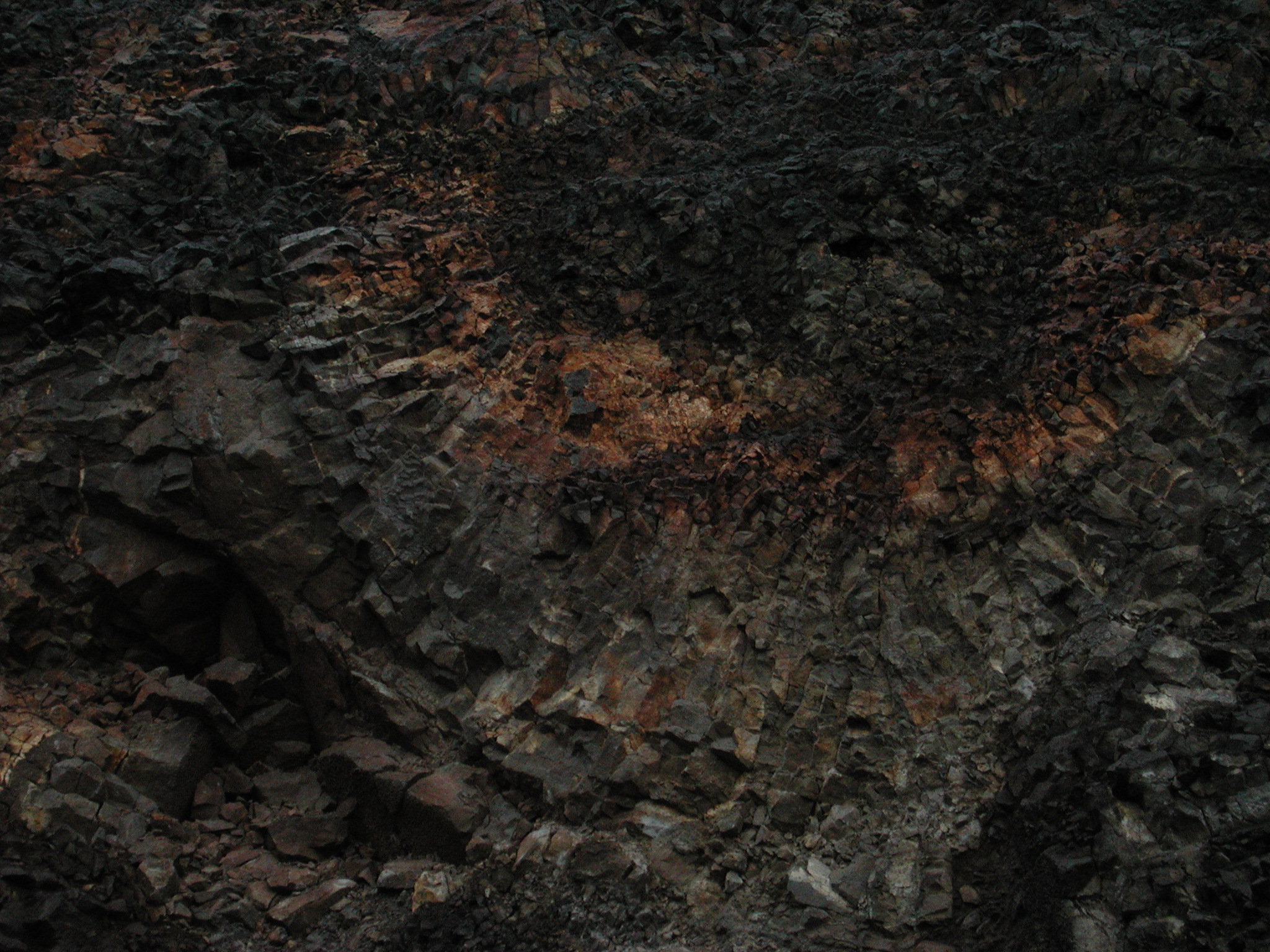
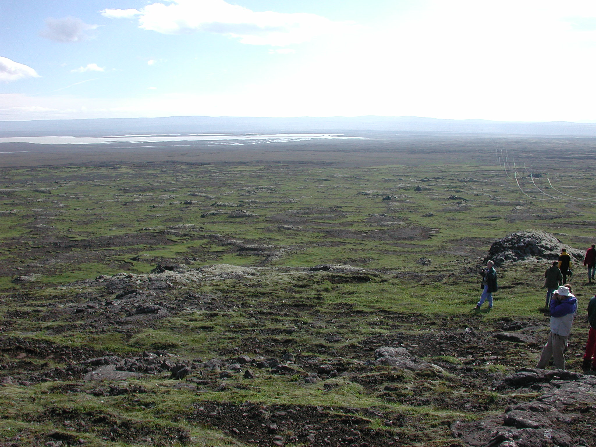
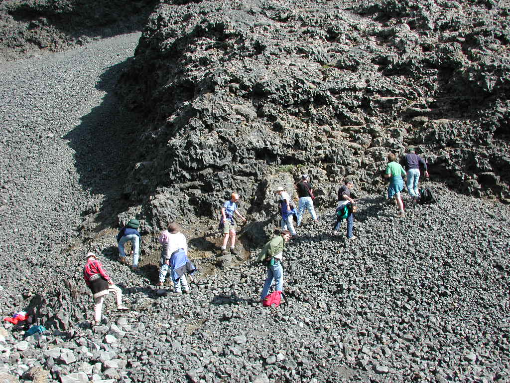
This quarry is a great section through a pillow lava formation.
 full
full
 full
full
 full
full
 full
full
 full
full
 full
full
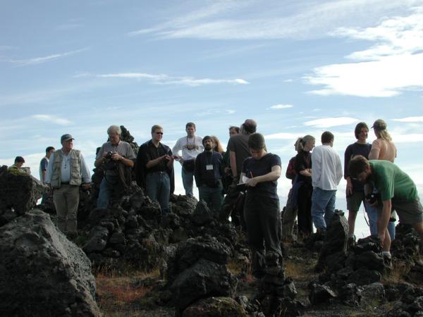
This trip was in connection with the Volcano/Ice Interaction Workshop.
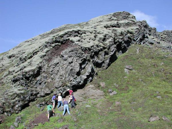
Undirhlíðar stop.
This quarry is a great section through a pillow lava formation.
full
full
full
full
full
full
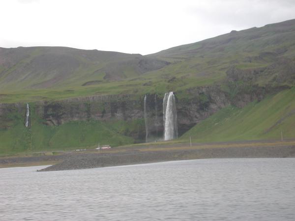
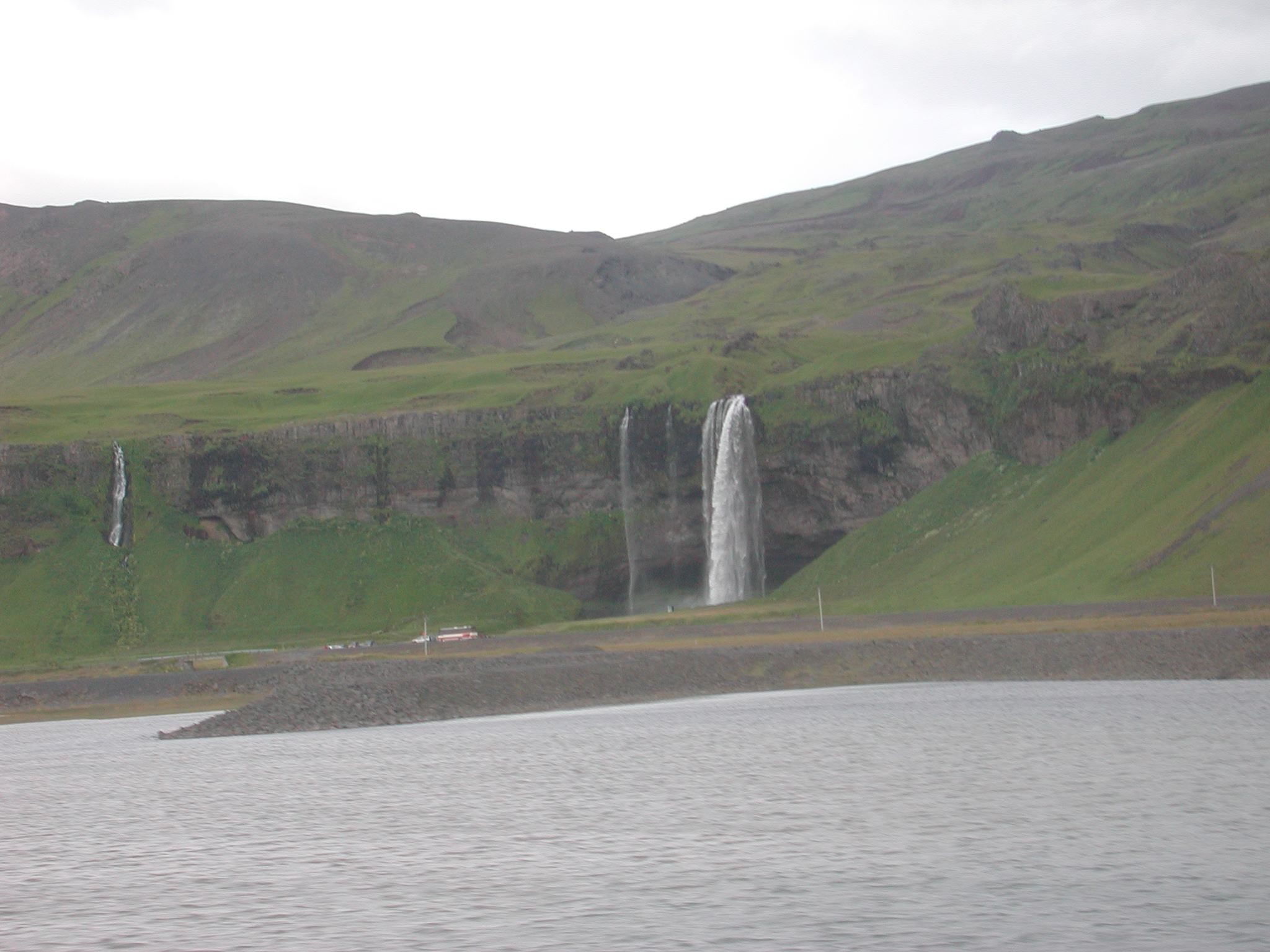
This is the Seljalandfoss waterfall, but
we actually stopped at it on the Mars
Polar Trip, rather than this picture from the bus.
 full
full
Another shot from the bus looking south over the lowlands out
to the Vestmannæyjar Islands. Surtsey is farthest
to the right.
 full
full
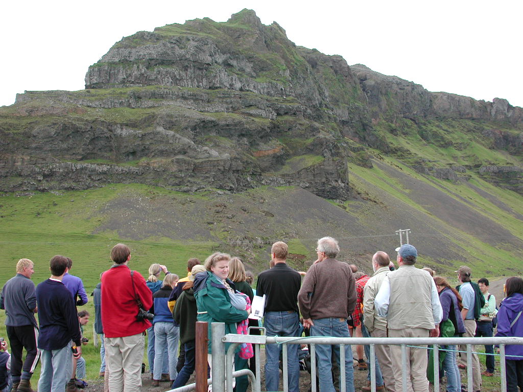
We stopped to take a look at the volcanic sequences
from Eyjafjöll.
 full
full
 full
full
 full
full
Another shot from the bus, and it was my first look at
a glacier. This is Eyjafjallajökull.
 full
full
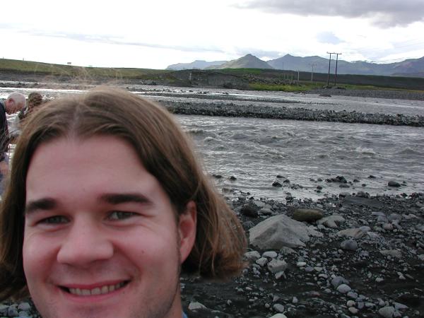
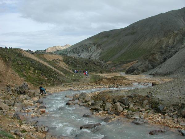
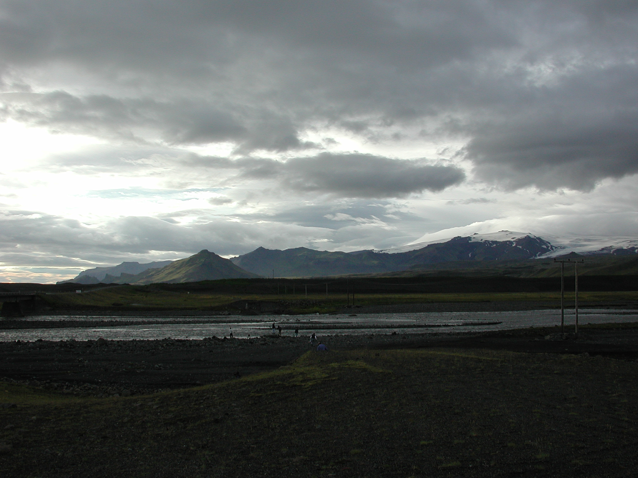
We stopped at the Jökulsá river which
runs over the Skógasandur and is fed by the
Sólheimajökull an outlet glacier of
the Mýrdalsjökull glacier.
 full
full
 full
full
 full
full
 full
full
 full
full
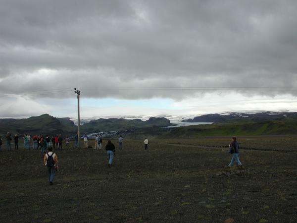
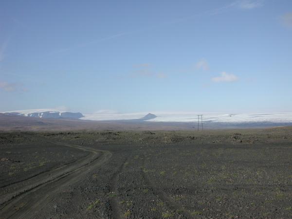
We stopped on the Mýrdalssandur outwash plain near
Hjörleifshöfði.
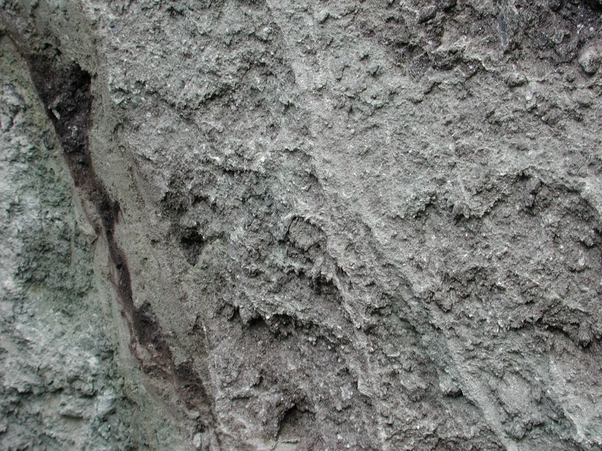
We dug into the jökulhlaup sediments. Beneath the pebbley surface the interior was all well-sorted tephra.
full
This is a shot looking north at the Mýrdalsjökull.
full
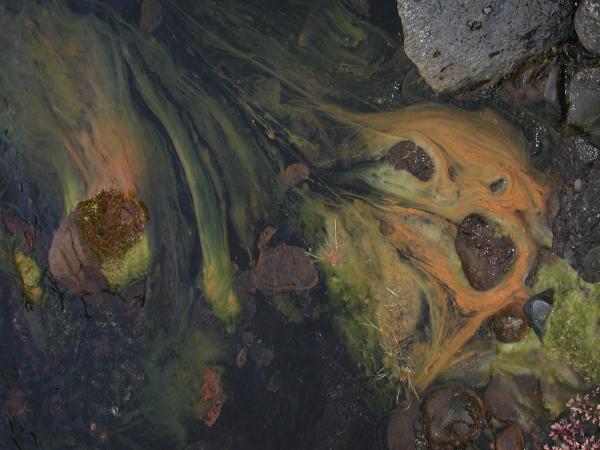
In the glacial streams that are running through the sandur, there were these neat, thread-like algae.
full
This is a shot looking southwest at sea spires from a gas
stop in the town of Vík.
 full
full
 full
full
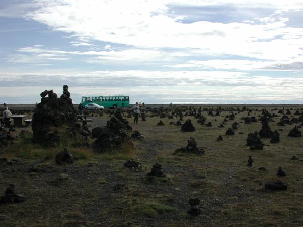
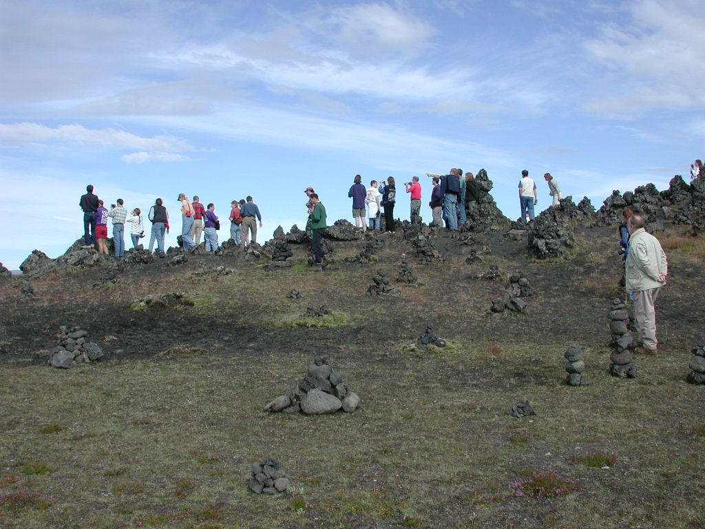
We stopped at a location in the Laki flow that was
full of cairns, called Laufskálavarða.
It was the former location of a
farm, and now people build cairns for luck on their
journeys.
 full
full
 full
full
 full
full
 full
full
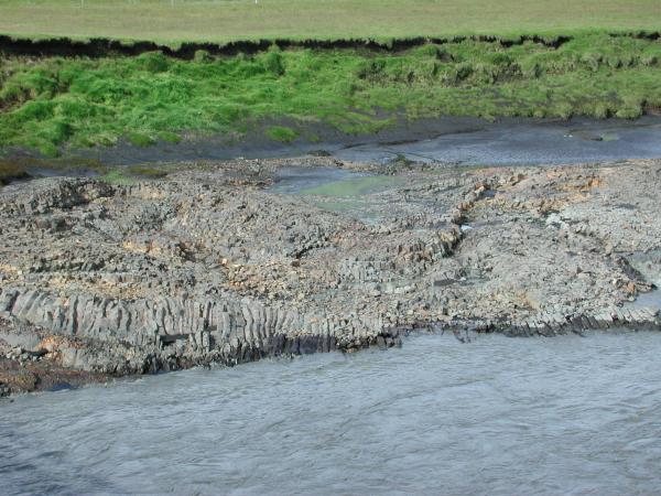
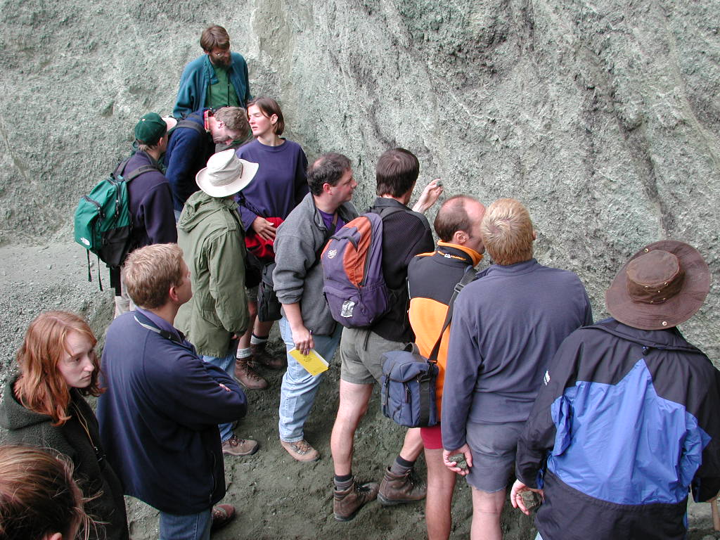
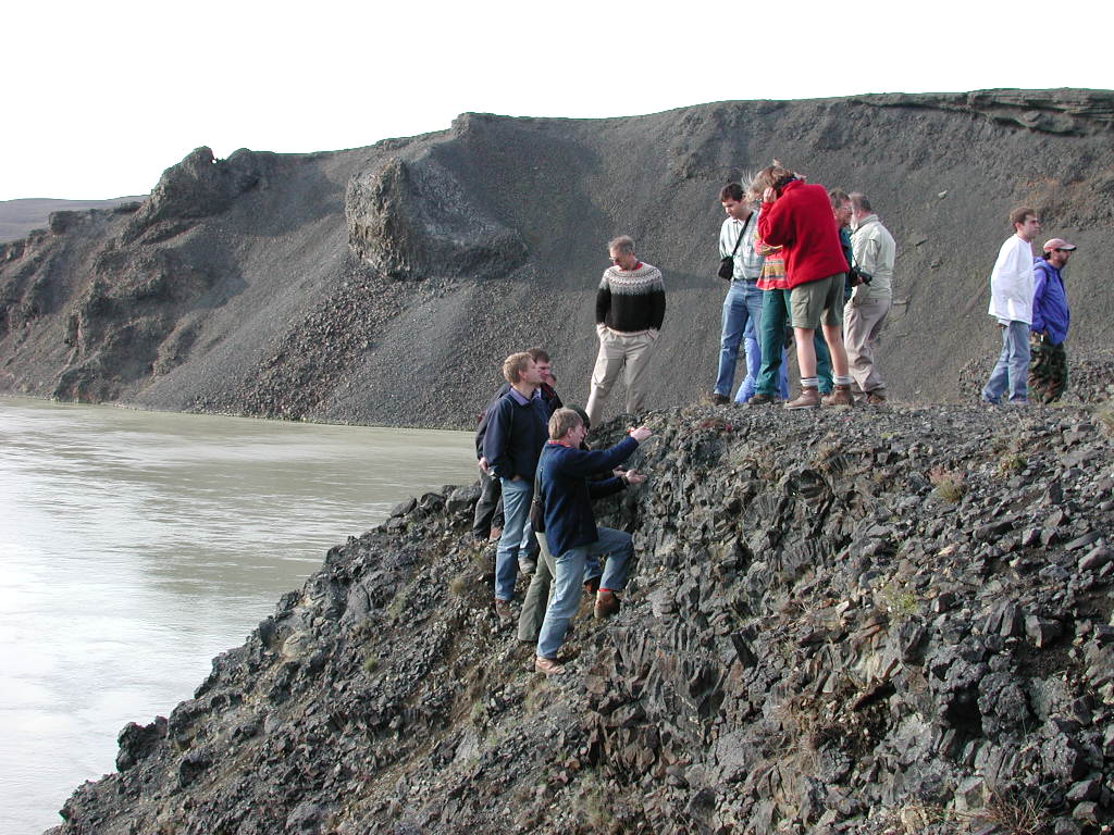
We then turned off the ring road and headed up
into the interior. We stopped at a bridge
that crossed the Kúðafljót.
There were these really cool little layers in
the river sediments that I just had to take some
pictures of.
 full
full
 full
full
 full
full
 full
full
 full
full
 full
full
 full
full
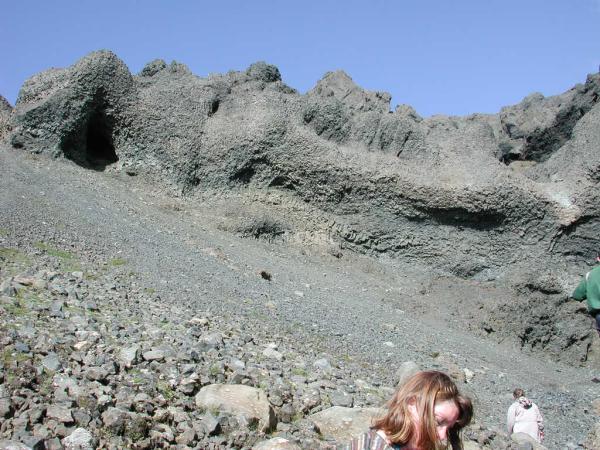
We also stopped in a portion of a large volcanic
fissure. The road runs down the center of the
old fissure.
 full
full
 full
full
 full
full
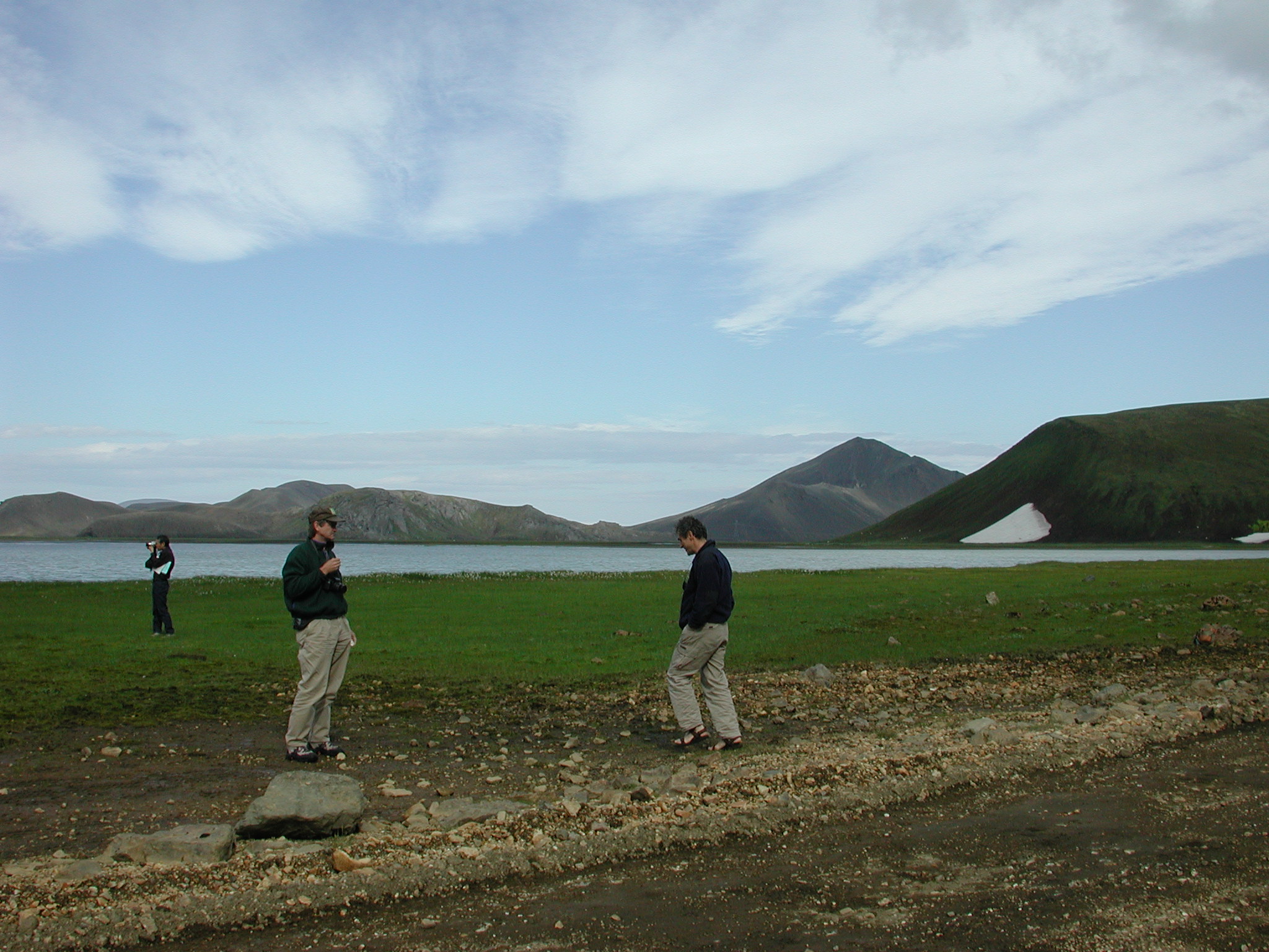
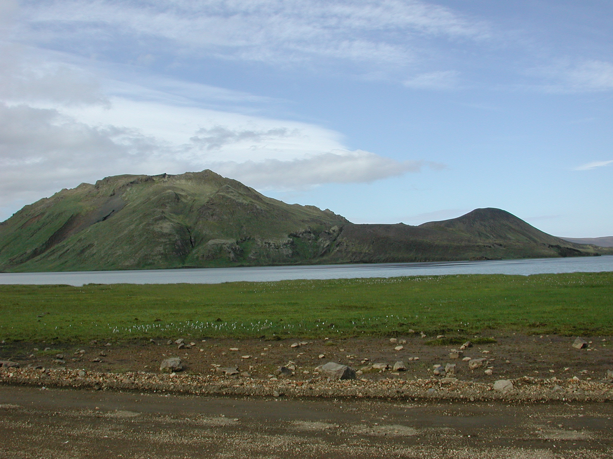
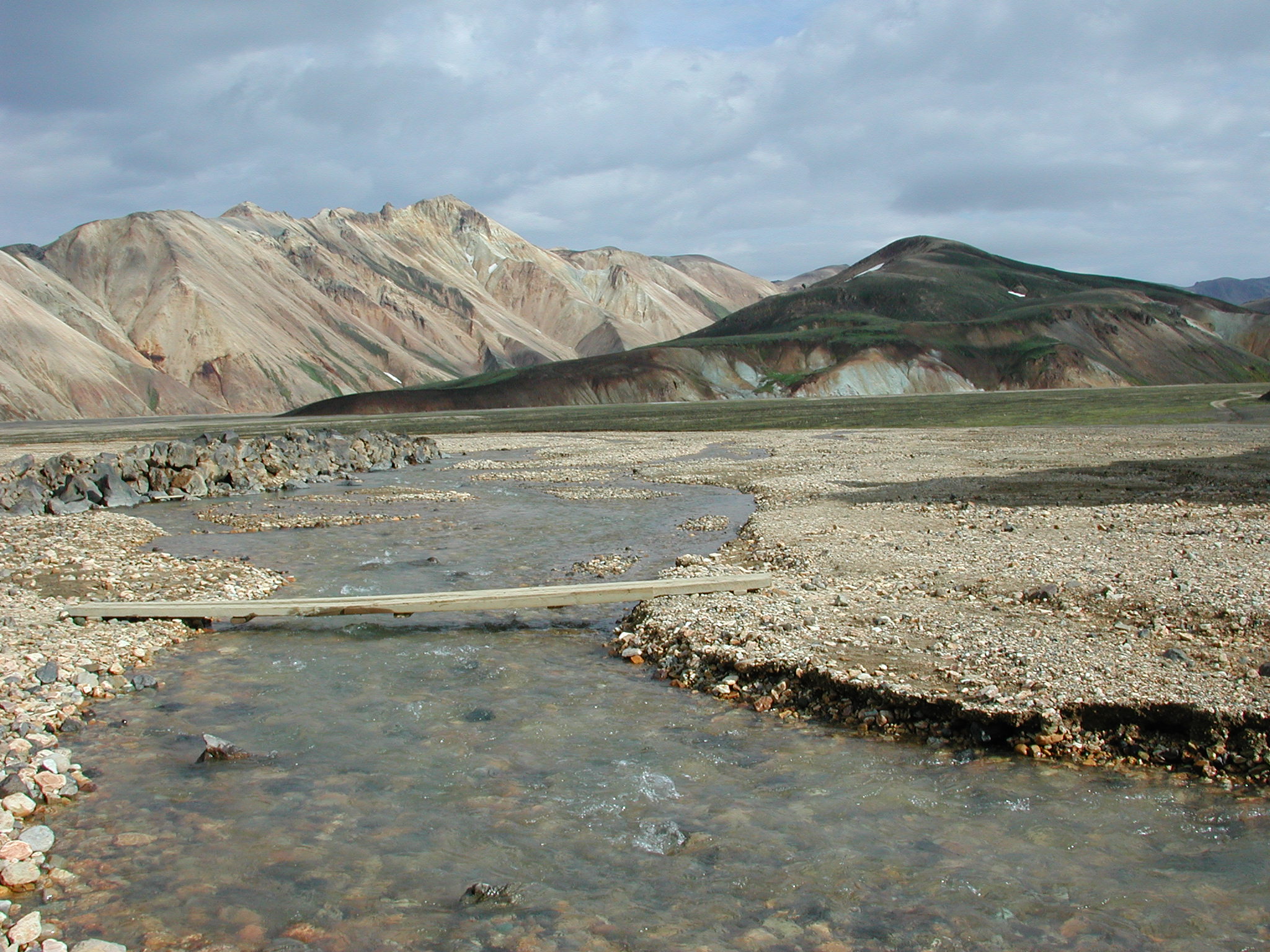
We stopped near a tuya next to a lake on road F208.
 full
full
 full
full
 full
full
 full
full
 full
full
 full
full
 full
full
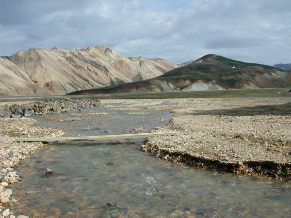
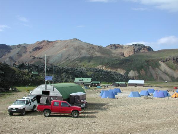
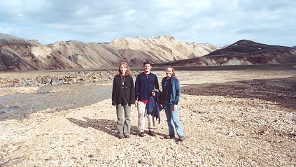
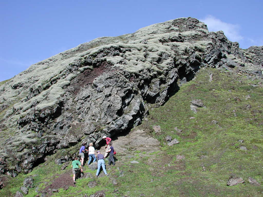
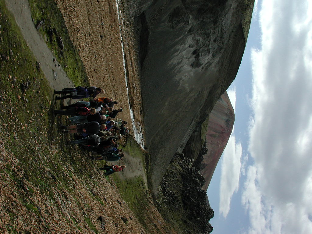
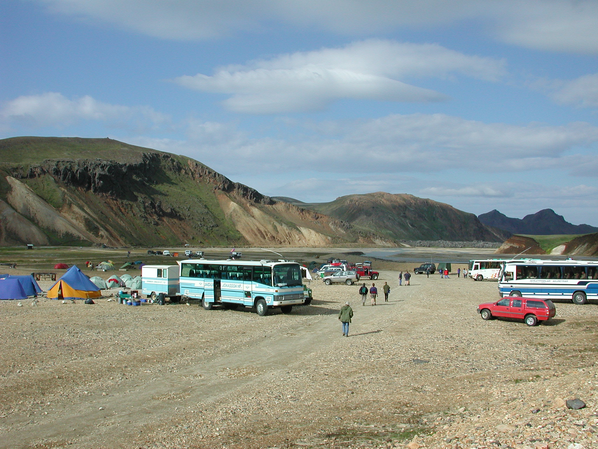
We stopped to have lunch near Bláhnúkur, which
is a small subglacial rhyolite volcano, and visited several
locations along the Grænagil stream.
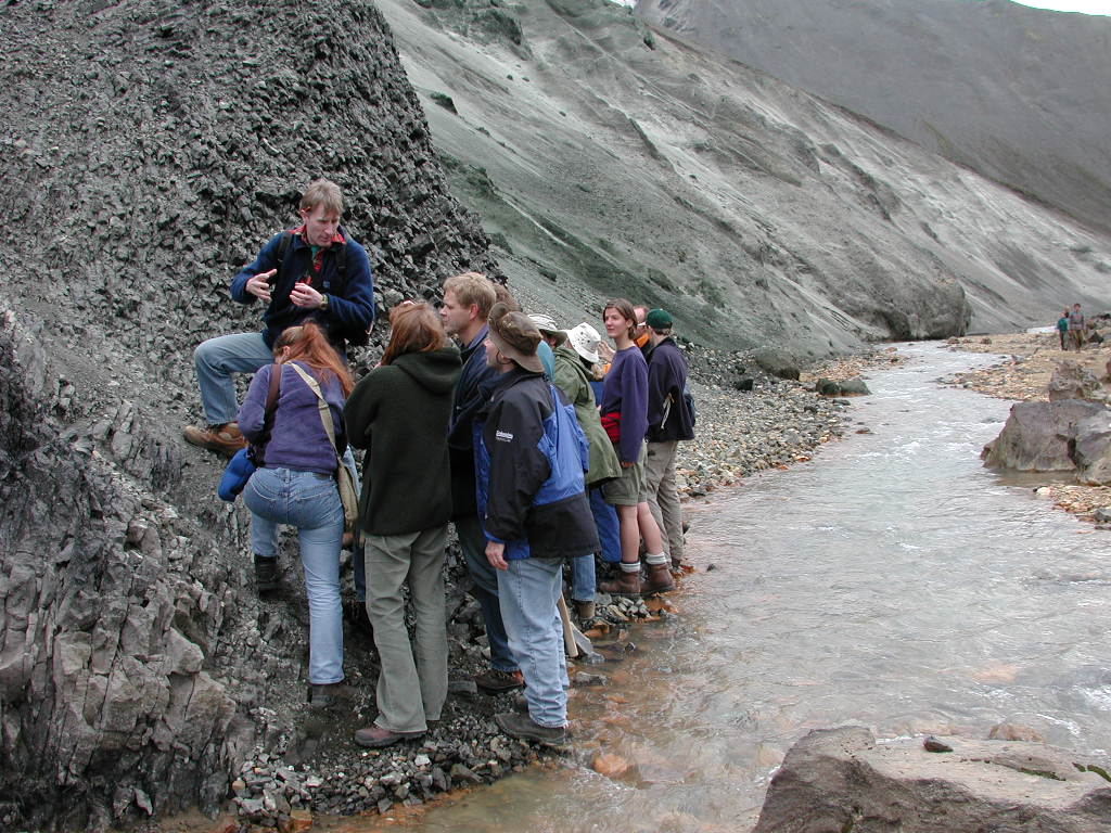
Hugh Tuffen pointed out where the base of the Rhyolite stack was exposed, and that it shows evidence of glacial drainage.
full
Grænagil itself cut a beautiful canyon through these altered rhyolites and rhyolite flows.
full
full
full
full
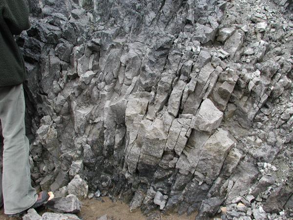
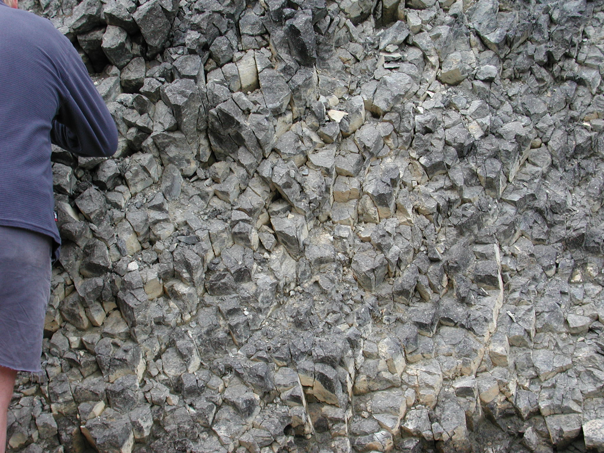
There was some excellent columnar jointing in rhyolite lava lobes that created tunnels under the ice, and then got dammed up.
full
full
full
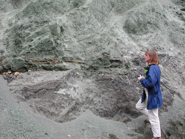
Further down there was lots of green hydrothermal alteration. The dark blobs are obsidian pockets, some of which are deformed. Their vesicles are stretched along their long axes, and the veins you see are full of fine ash.
full
full
full
full
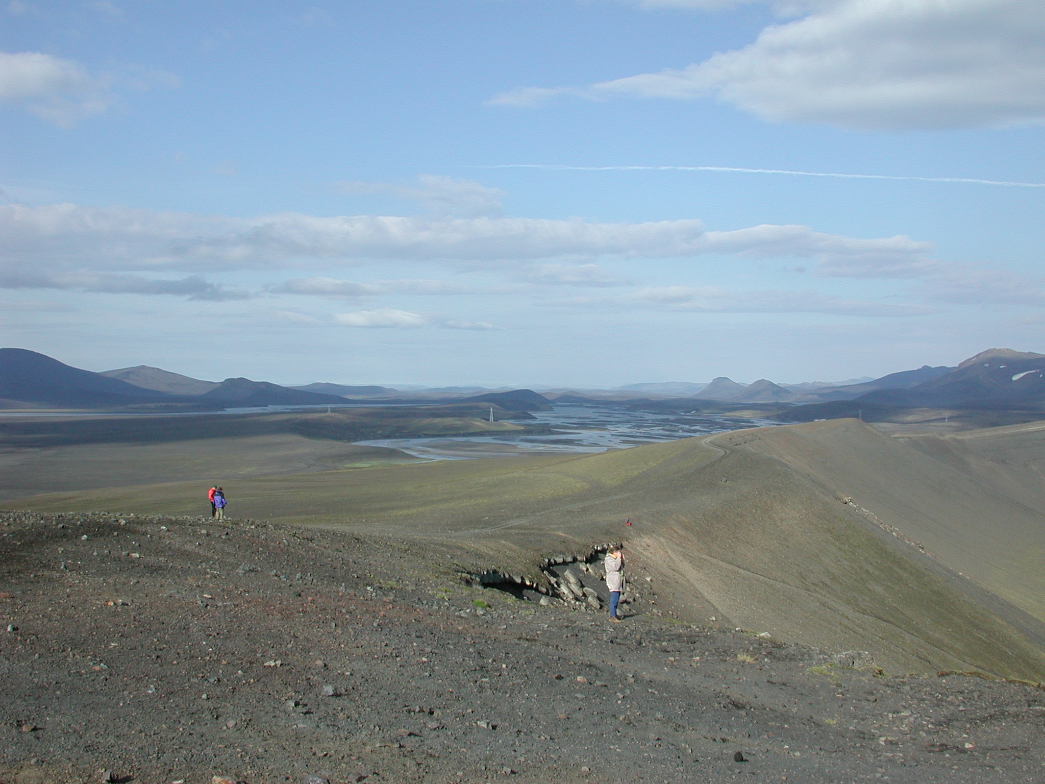
The walk from Grænagil back to the bus, had lots of good views of the surrounding geology.
full
full
full
full
full

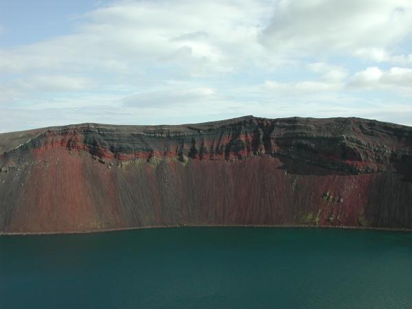
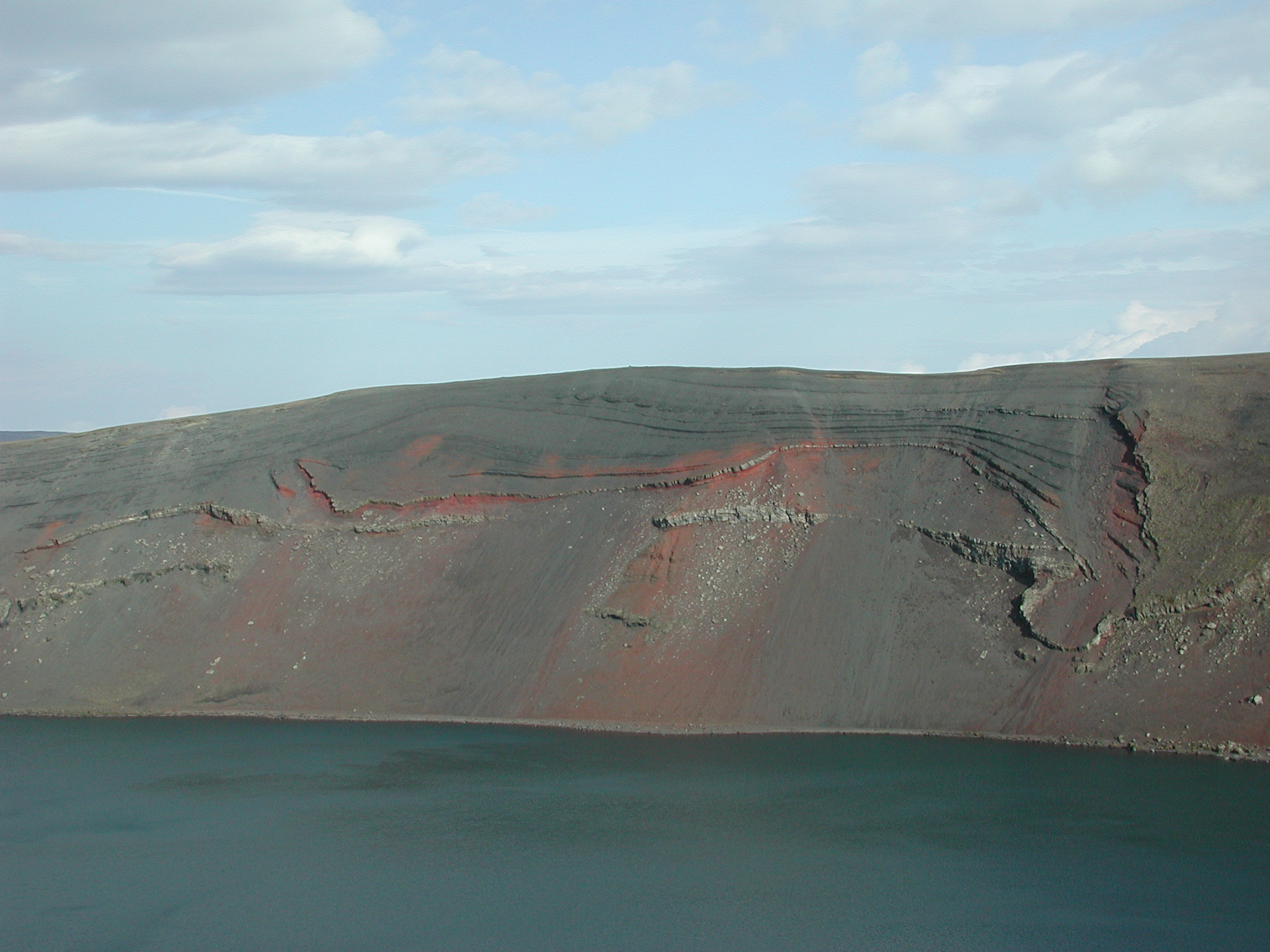
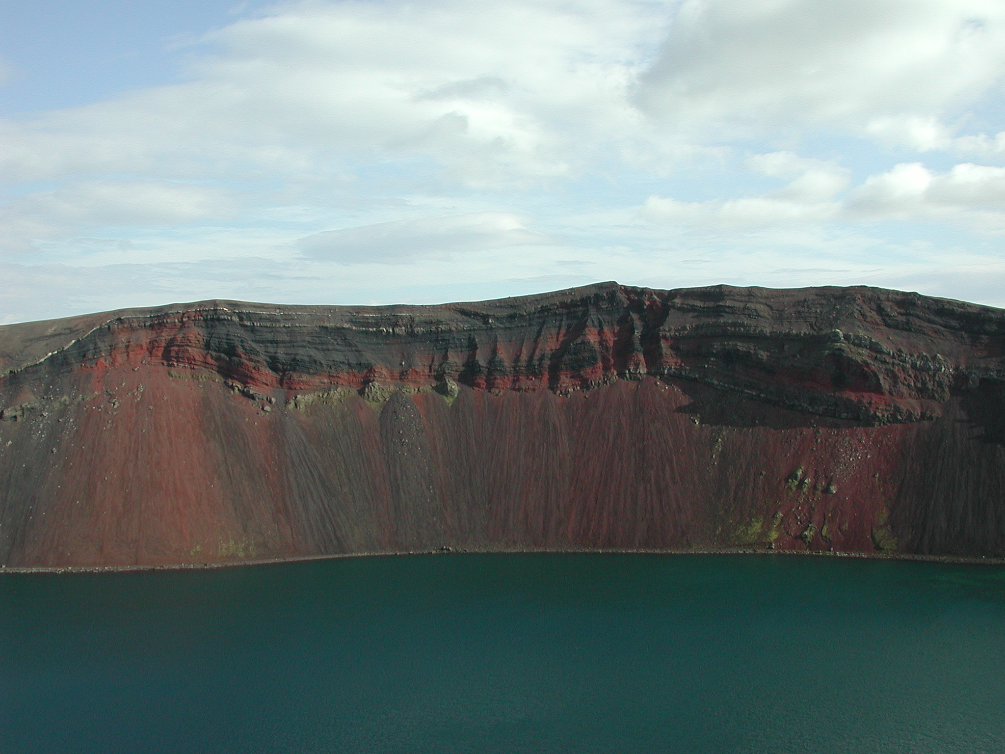
The Ljótipollur (ugly pool) basaltic explosion crater
was our next stop.
 full
full
 full
full
 full
full
 full
full
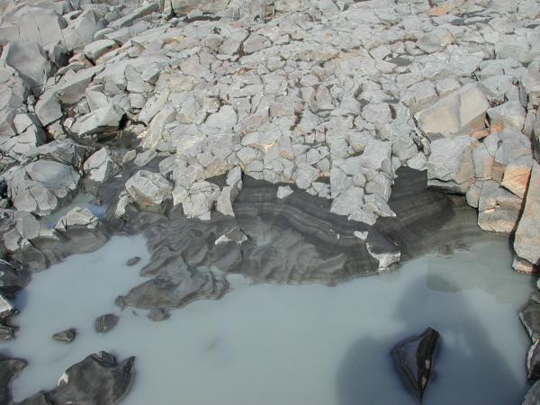
We stopped at some pillow lavas near the Þjórsá
river (I think).
 full
full
This is a shot from the bus of the active Volcano Hekla which
had just erupted in February giving the volcano a black covering
of tephra.
 full
full
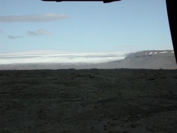
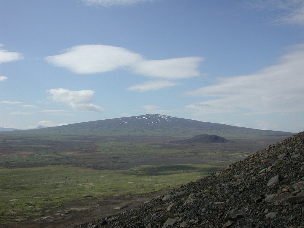
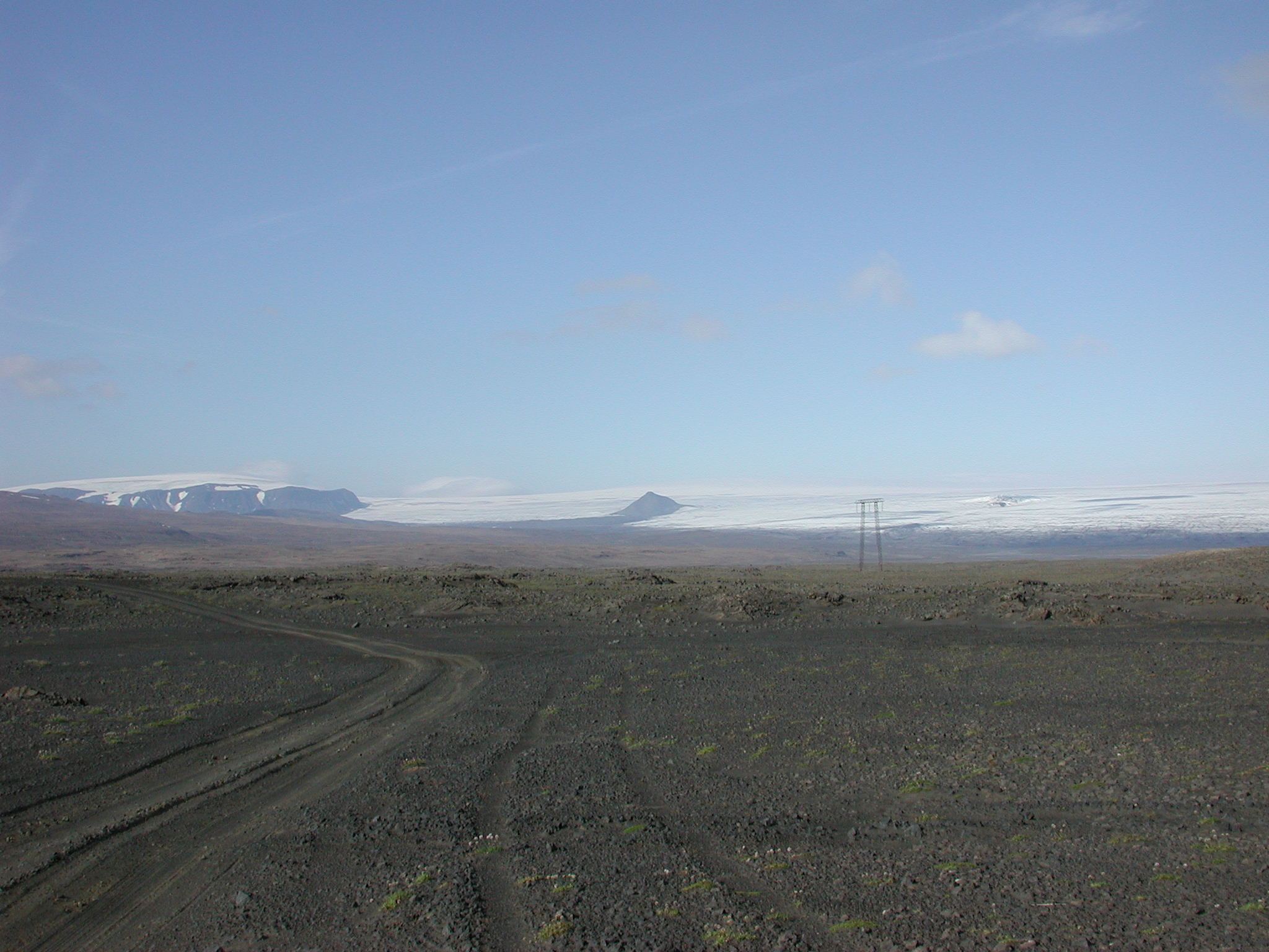
This is my first picture of the Langjökull glacier.
 full
full
These pictures were taken from road F338 on the way northwest
to the Hlöðufell tuya.
 full
full
 full
full
 full
full
The Sandvatn lake lies beyond the inflated lava surface in the
foreground.
 full
full
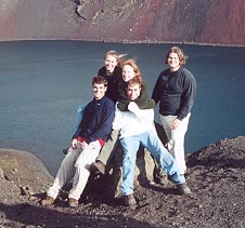
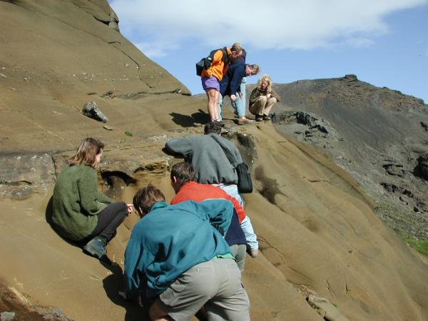
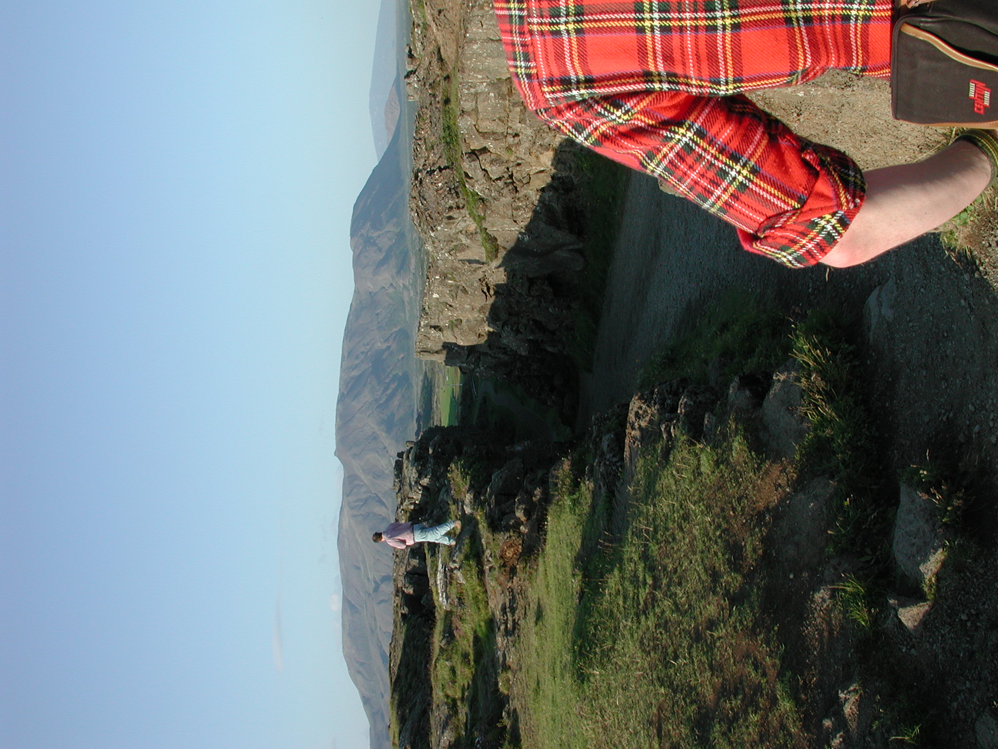
People climbing around a strange-looking outcrop.
 full
full
Another bus shot of the glacier.
 full
full
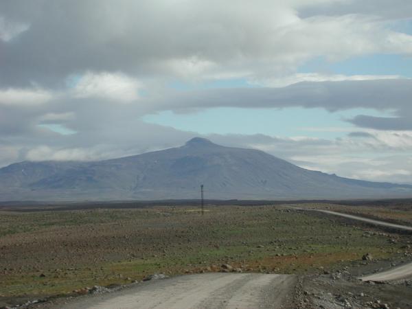
This is a long distance shot of Hlöðufell from the southeast.
 full
full
There is this weird little crater structure on the side of
Þórólfsfell, which is a smaller ridge
next to Hlöðufell made up of pillow lava and hyaloclastite.
(this picture was taken from inside the bus and that red color is
a reflection from someone's jacket in the window)
 full
full
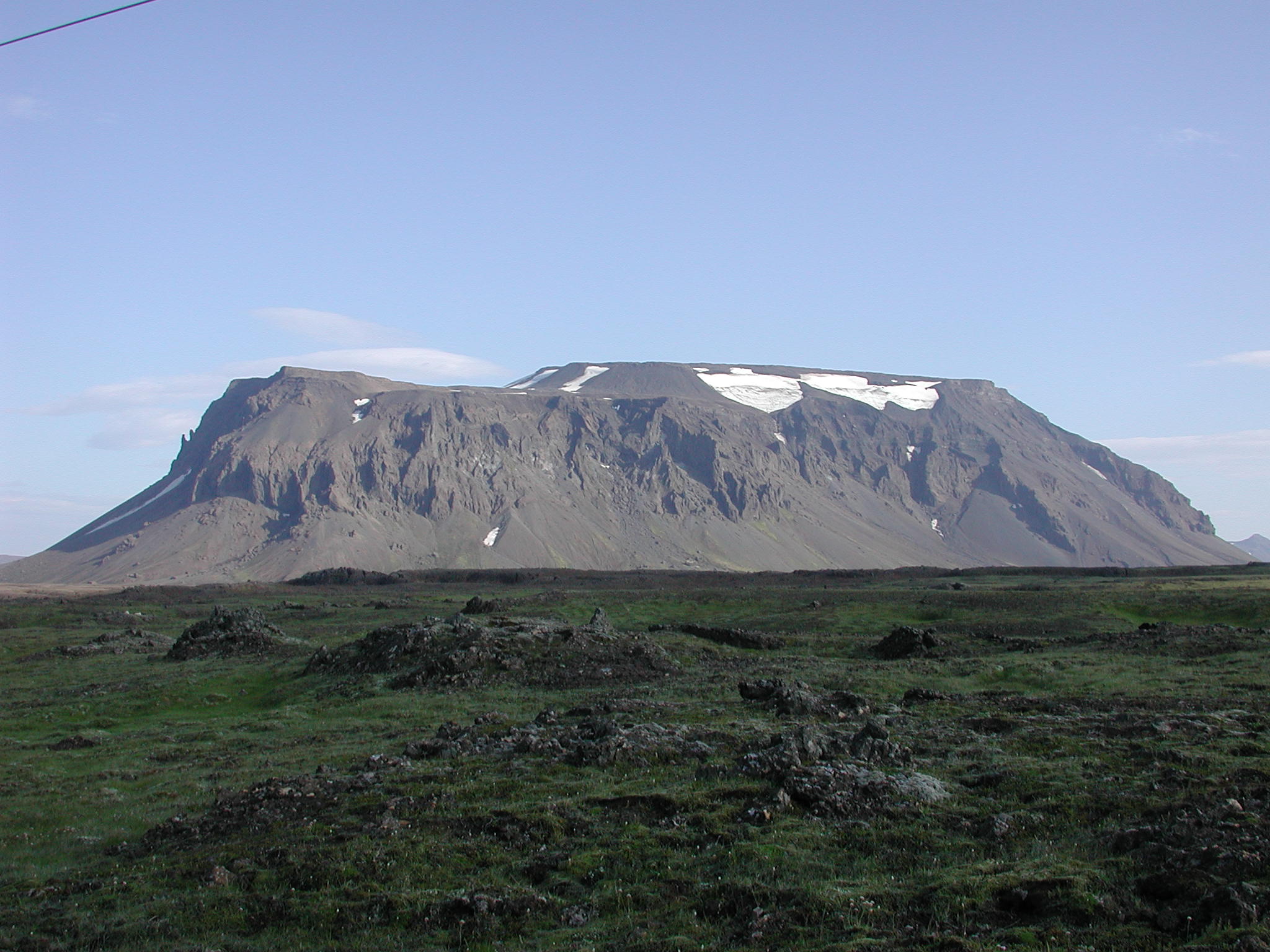
Hlöðufell Tuya is a well-known tuya in Iceland.
 full
full
 full
full
 full
full
 full
full
 full
full
 full
full
 full
full
This is a picture of the Vestri-Hagafellsjökull
outlet glacier of the Langjökull.
 full
full
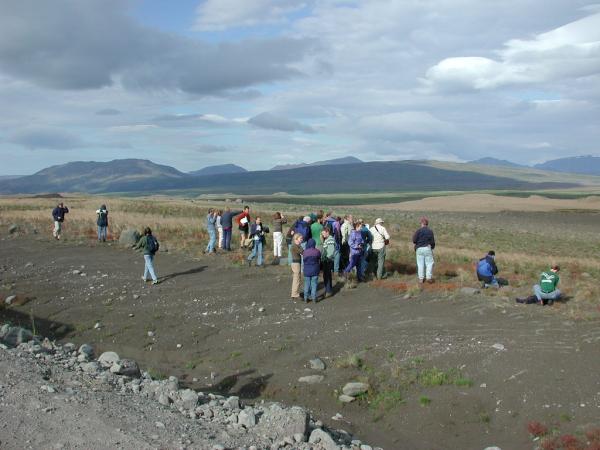
We also stopped along the northwest side of
Þórólfsfell to look at some
outcrops.
 full
full
I believe that this is Stóra-Björnsfell.
 full
full
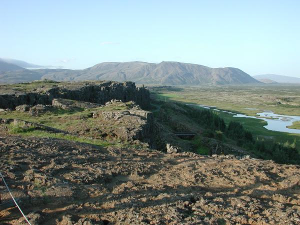
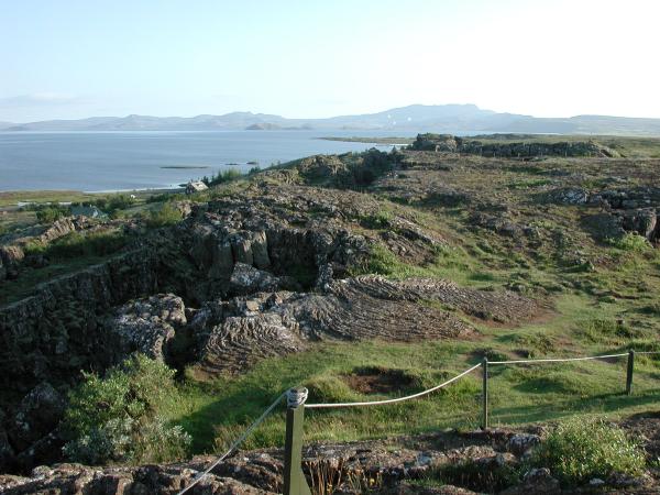
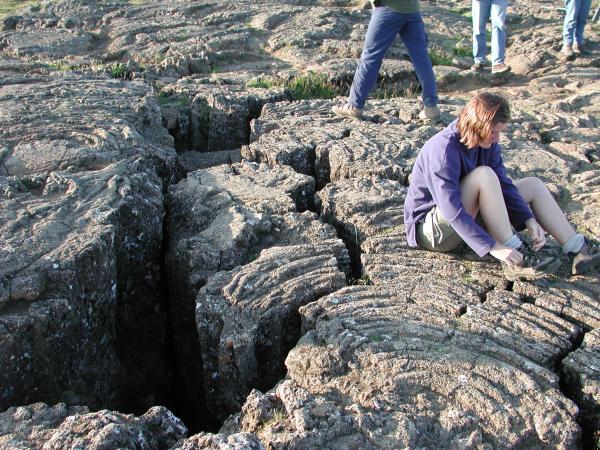
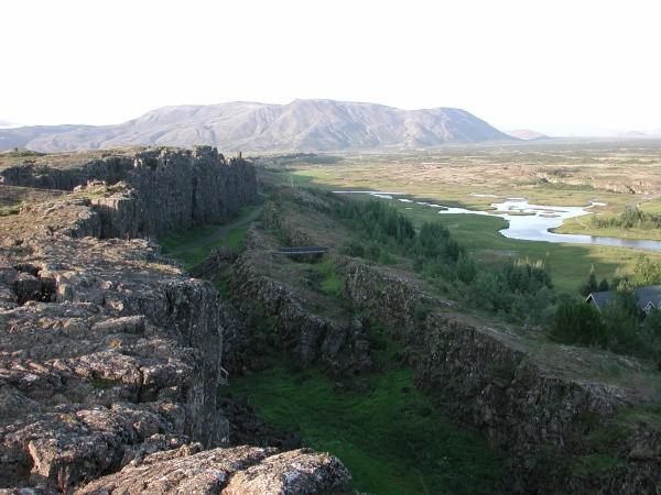
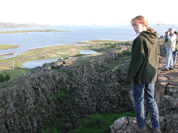
Our last stop was at Þingvellir.
 full
full
 full
full
 full
full
 full
full
 full
full
 full
full
 full
full


